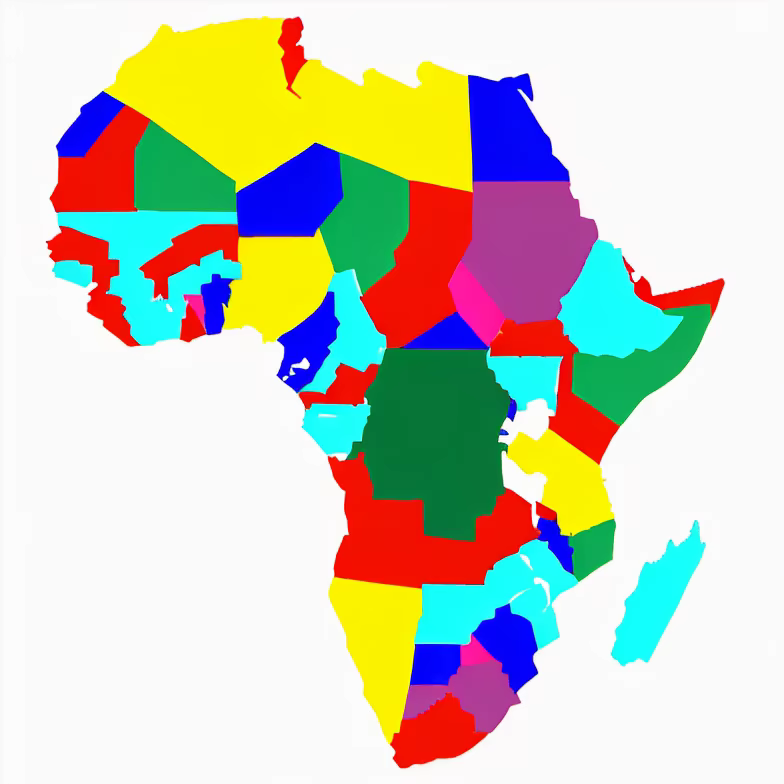
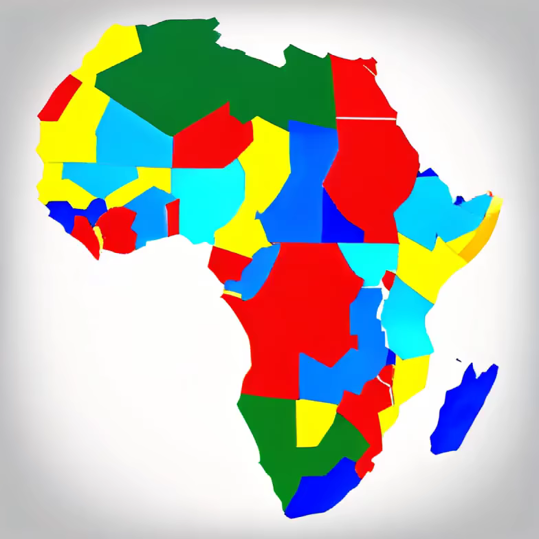
Prompt: A map of the continent of Africa, Styled like a student textbook, all countrys annotated with their names


Prompt: Annotated map of England with all the real names of towns and countys, in the style of a student textbook


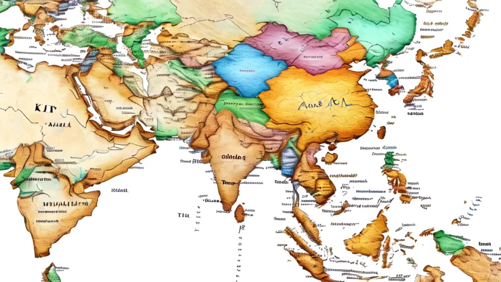
Prompt: fantasy world map with atleast nine continents, with no semblance with the real world and with lots of different terrains
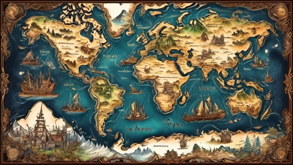


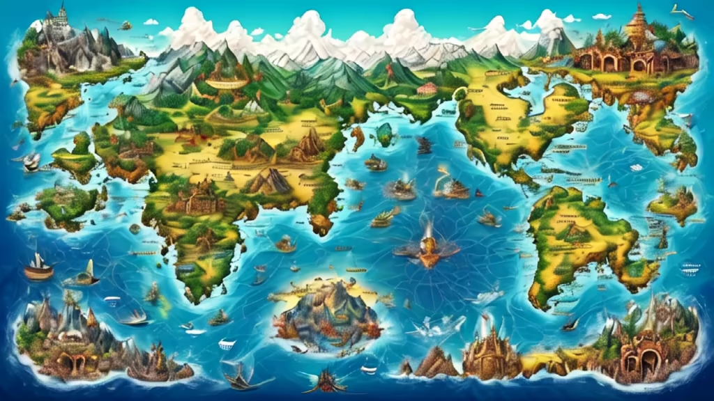
Prompt: fantasy world map of the entire planet with atleast nine continents, lots of islands, archipelagoes, terrains, etc.
Negative: avoid a map resembling the map of the real world


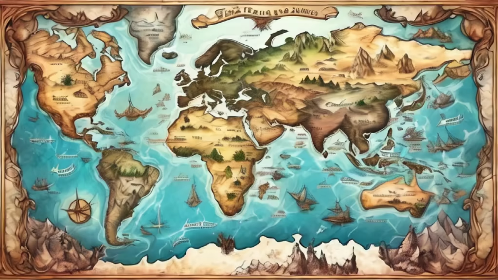
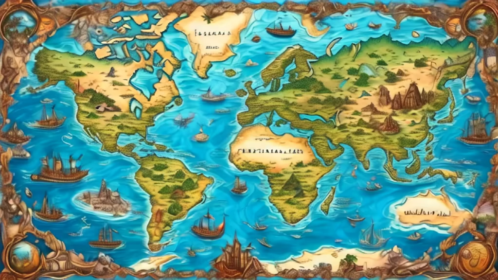
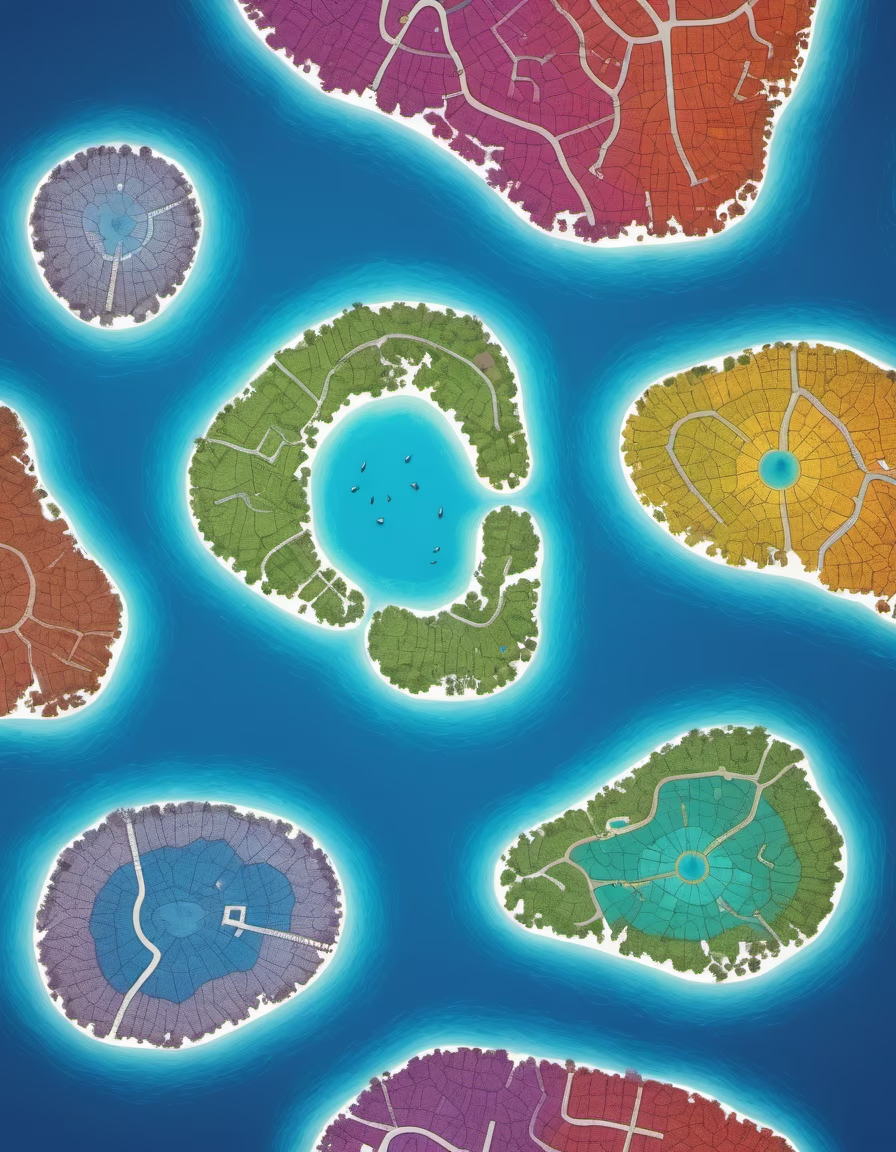
Prompt: fantasy world map with atleast nine continents and many islands, archipelagoes, terrains, etc. based on the real world
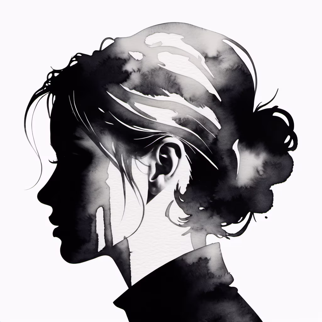
Prompt: model silhouette, minimalistic photo, white space, negative space, high contrast, black and white, white background
Style: Watercolor


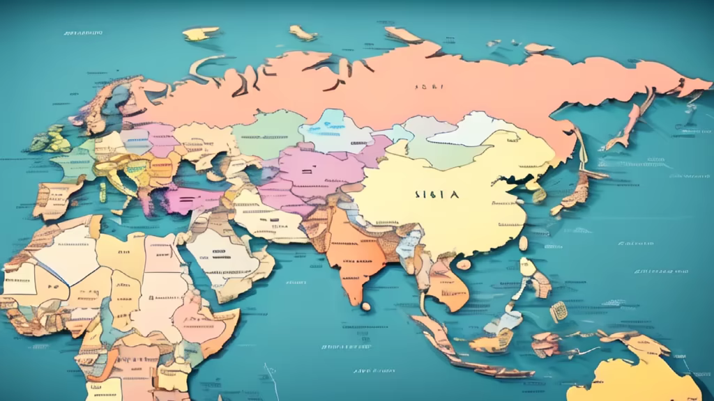
Prompt: the map of all the countries in the world in black and white, ultra detailed, the countries must be in black, the border lines in white and the seas and oceans in white.


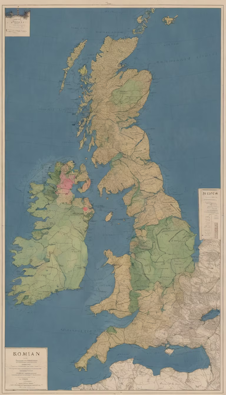
Prompt: Generate an image illustrating the Roman perception of Britain as the \"foot\" of a larger northern continent. Create a map-like representation with annotations, showcasing how Romans envisioned the geography of Britain in relation to the broader landmass.
Negative: Deformed, blurry, bad anatomy, disfigured, poorly drawn face, mutation, mutated, extra limb, ugly, poorly drawn hands, missing limb, blurry, floating limbs, disconnected limbs, malformed hands, blur, out of focus, long neck, long body, mutated hands and fingers, out of frame


Prompt: a detailed pirate treasure map of a land that looks like a math equation, burnt on the edges


Prompt: the map of all the countries in the world in black and white, ultra detailed, every countries must be in black, the border lines in white and the seas and oceans in white.


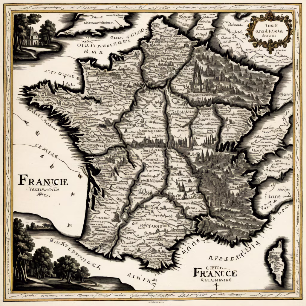
Prompt: Map of France, entire 18th century France with rivers, trees, names of cities, like a black and white engraving, white background


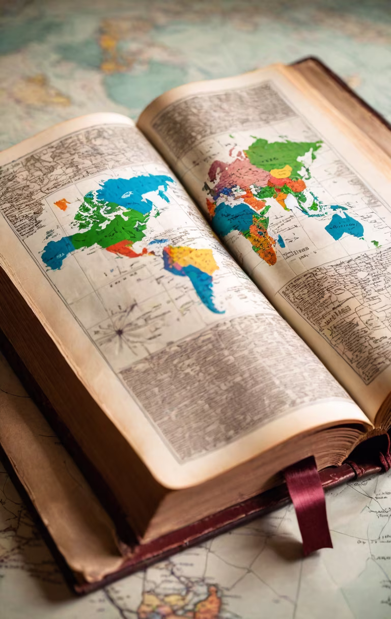
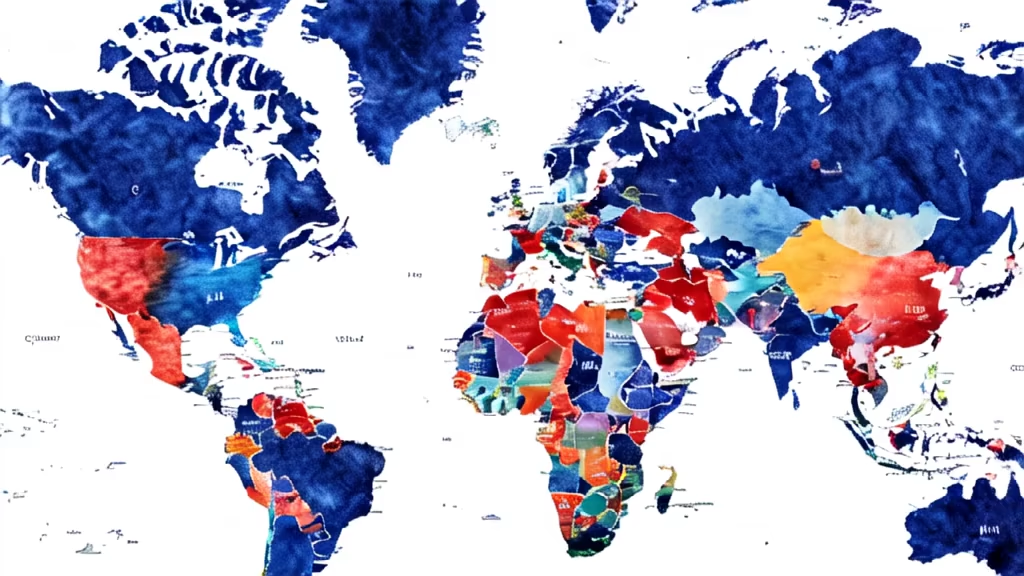
Prompt: Show a map of the world. Different countries are shown in different colors. The United States is blue, China is red, and other countries are white.


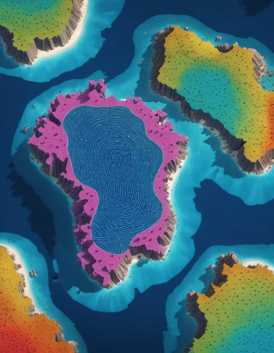
Prompt: a map of a group of islands that look together like a fingerprint, filmed from afar, filmed from above, extremely detailed


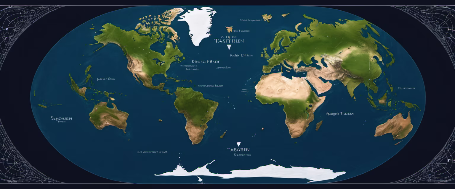
Prompt: fictional map of the entire imaginary planet of Tasgarthen with atleast nine continents, lots of islands, archipelagoes, terrains, etc.
Negative: avoid a map resembling the map of the real world


Prompt: 18th century map with several villages, rivers of trees, names of cities, composition on a sphere, like a black and white engraving, white background


