


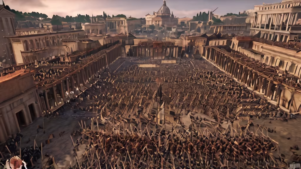
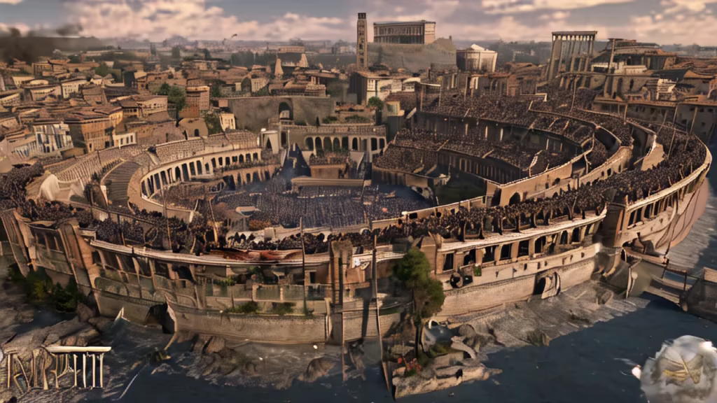
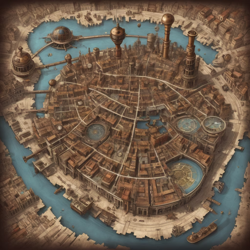


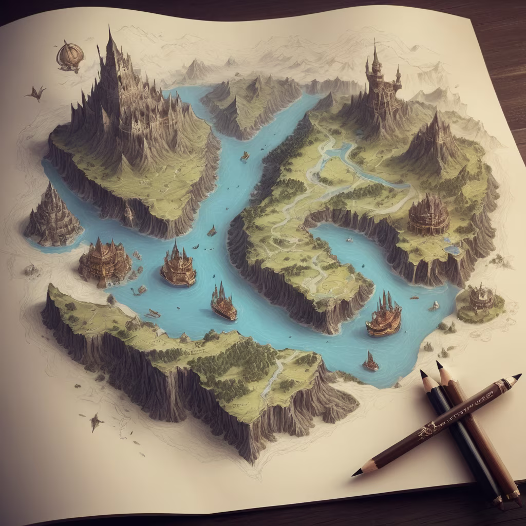
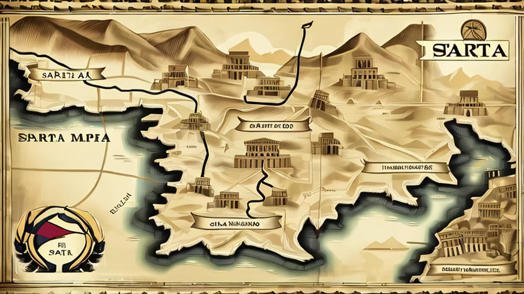
Prompt: digital aerial view map of Ancient Roman town by a river, bridge over river, highly detailed

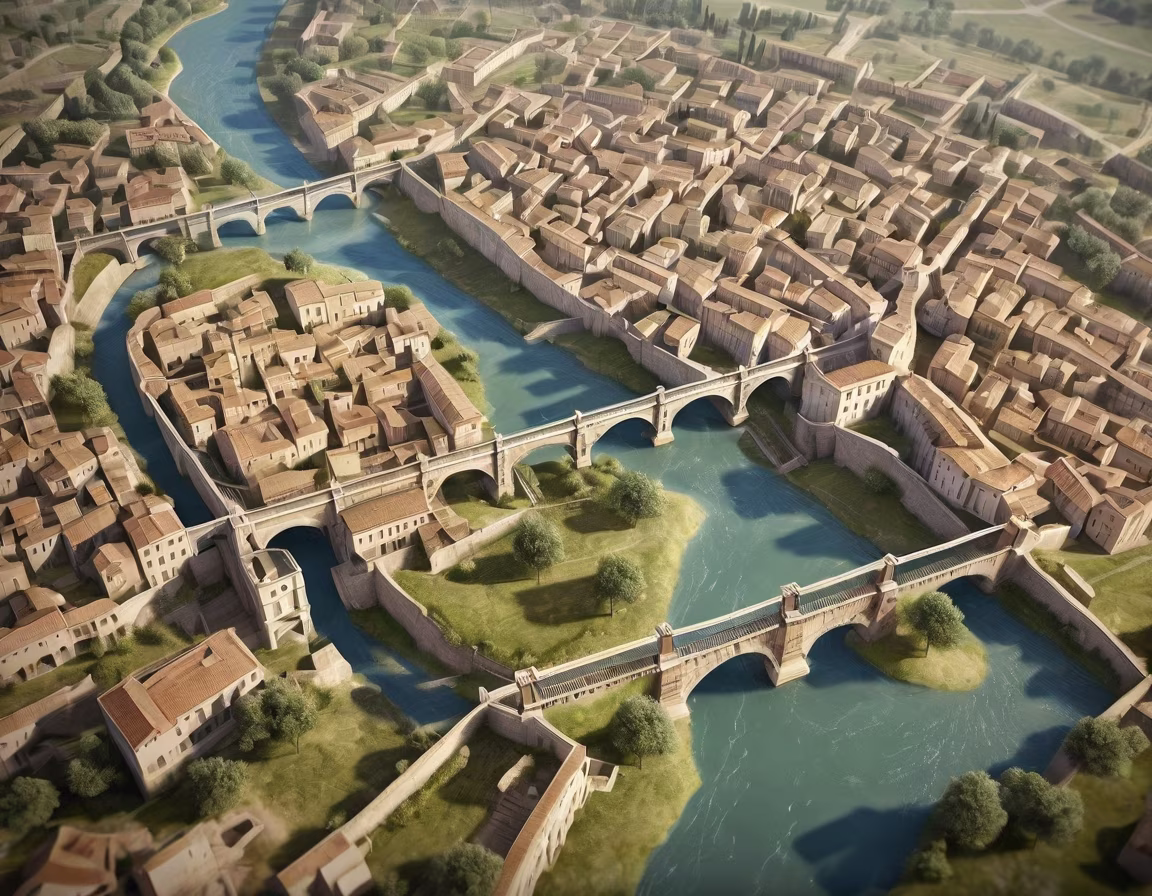


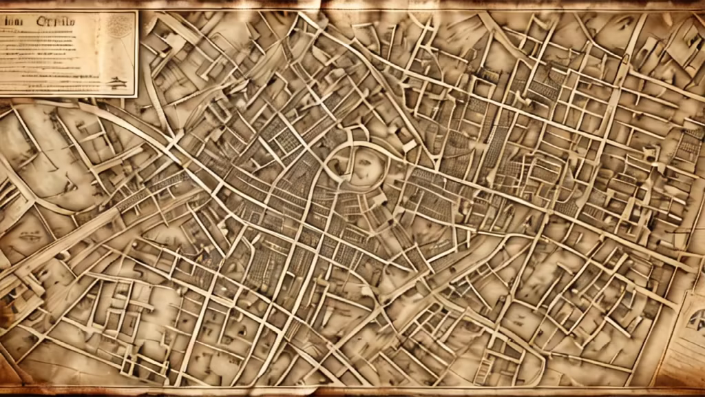
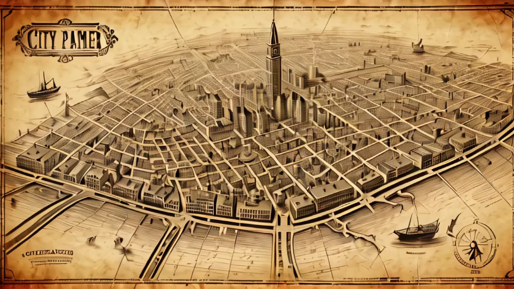


Prompt: aerial view fine art map of Ancient Roman town by a river, bridge over river, highly detailed


Prompt: model silhouette, minimalistic photo, white space, negative space, high contrast, black and white, white background
Style: Watercolor


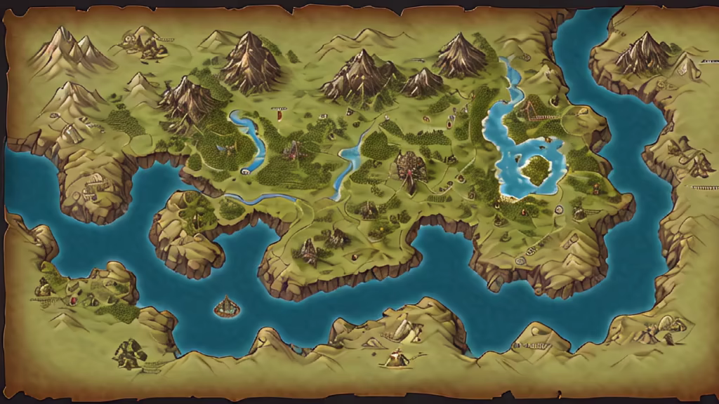
Prompt: Generate an image illustrating the Roman perception of Britain as the \"foot\" of a larger northern continent. Create a map-like representation with annotations, showcasing how Romans envisioned the geography of Britain in relation to the broader landmass.
Negative: Deformed, blurry, bad anatomy, disfigured, poorly drawn face, mutation, mutated, extra limb, ugly, poorly drawn hands, missing limb, blurry, floating limbs, disconnected limbs, malformed hands, blur, out of focus, long neck, long body, mutated hands and fingers, out of frame


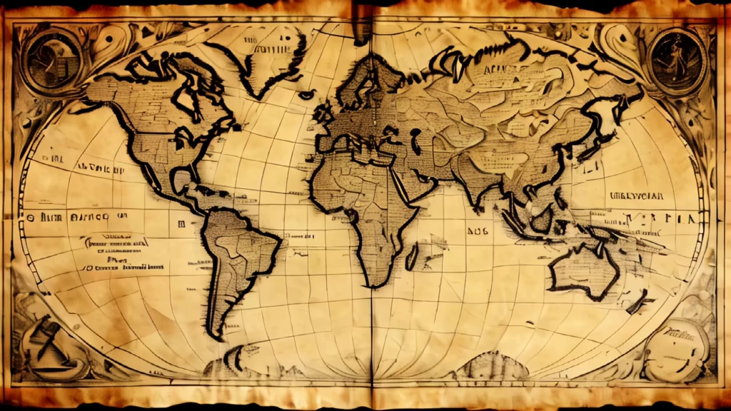
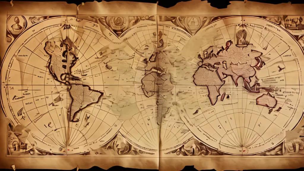
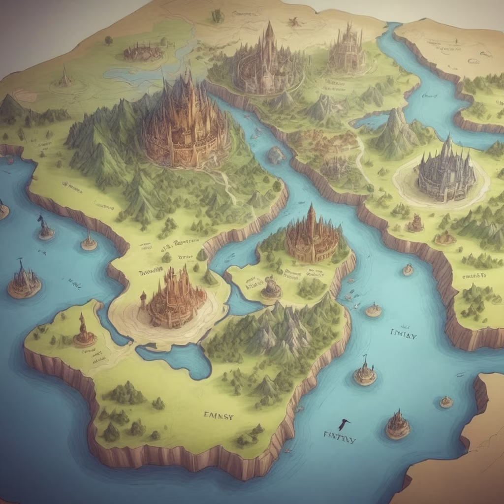
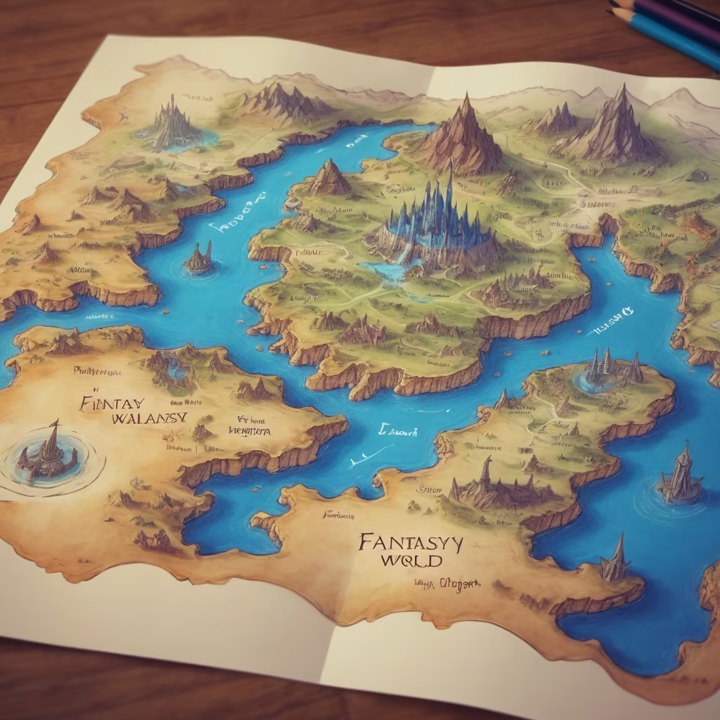
Prompt: ancient lost world map of Europe with dated back to 15 century in the style of holy roman empire and what was before it. Glory, triumph. History, highly detailed.


Prompt: aerial view fine art of Ancient Roman town by a river, bridge over river map, highly detailed


Prompt: aerial view map of Ancient Roman town by a river, bridge over river, highly detailed, digital, 3D


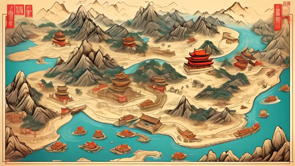
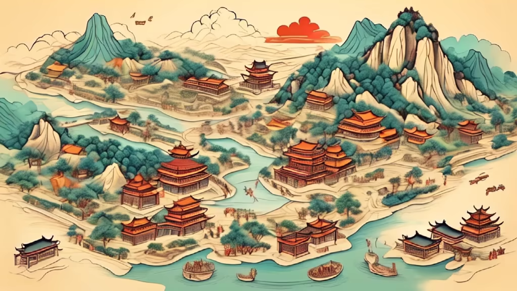
Prompt: A cartoon, hand-drawn, topographic map of ancient China during the Han Dynasty should have some details, such as mountains, rivers, trees, etc.